carma_cooperative_perception::Wgs84Coordinate Struct Reference
Represents a position using WGS-84 coordinates. More...
#include <geodetic.hpp>
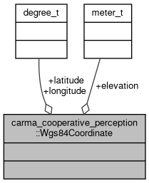
Collaboration diagram for carma_cooperative_perception::Wgs84Coordinate:
Public Attributes | |
| units::angle::degree_t | latitude |
| units::angle::degree_t | longitude |
| units::length::meter_t | elevation |
Detailed Description
Represents a position using WGS-84 coordinates.
Definition at line 32 of file geodetic.hpp.
Member Data Documentation
◆ elevation
| units::length::meter_t carma_cooperative_perception::Wgs84Coordinate::elevation |
Decimal degrees [-90, 90].
Definition at line 36 of file geodetic.hpp.
◆ latitude
| units::angle::degree_t carma_cooperative_perception::Wgs84Coordinate::latitude |
Definition at line 34 of file geodetic.hpp.
Referenced by carma_cooperative_perception::to_detection_list_msg().
◆ longitude
| units::angle::degree_t carma_cooperative_perception::Wgs84Coordinate::longitude |
Decimal degrees [-180, 180].
Definition at line 35 of file geodetic.hpp.
The documentation for this struct was generated from the following file:
- carma_cooperative_perception/include/carma_cooperative_perception/geodetic.hpp